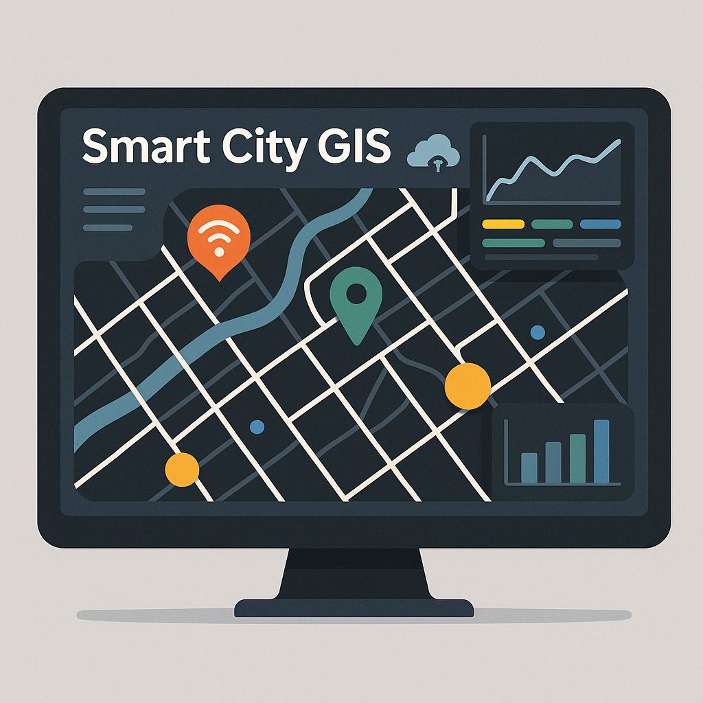
Building Smart Spatial Systems.
At Smart City GIS, we create intelligent WebGIS platforms, LLM-powered spatial assistants, and data-driven web applications that merge geospatial intelligence, AI, and clean engineering. Below are some featured projects demonstrating how we turn complex data into actionable, real-world solutions.
2025
Smart Logistics & Routing Platform
Designed and developed an intelligent WebGIS system for real-time logistics optimization and route planning. The platform integrates AI-based spatial analysis, LLM-assisted decision support, and dynamic map visualization to improve delivery efficiency by over 35%.
2024
Spatial AI Assistant for GIS Operations
Built a custom LLM-powered assistant integrated into a WebGIS environment to automate spatial queries, generate map insights, and support geospatial data management. The assistant understands natural language prompts and interacts directly with GIS layers, reducing manual workflows by over 40%.

2025
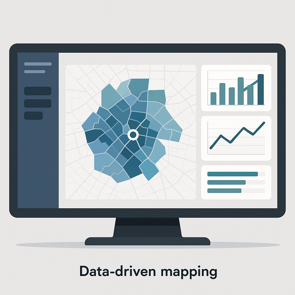
Urban Data Integration & Analysis Platform
Engineered a scalable backend system for aggregating and analyzing multi-source spatial datasets — including traffic, population density, and infrastructure layers. The platform provides APIs and dashboards for data-driven planning, powered by PostGIS, Nuxt, and MapLibre.
